

From freezing rain to snow, tracking a winter storm for the weekend
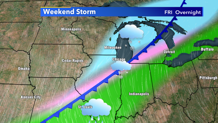
MILWAUKEE -- Winter weather looks to make a comeback this weekend, in the form of a wintry mix and snow for our area Friday through Sunday. Right now, while the track remains unclear, it is looking more likely that the Milwaukee area will be on the cold side of a stalled front Friday night, which will likely bring accumulating snow to our area. There could also be freezing rain for some, especially along the state line, before switching over to snow.
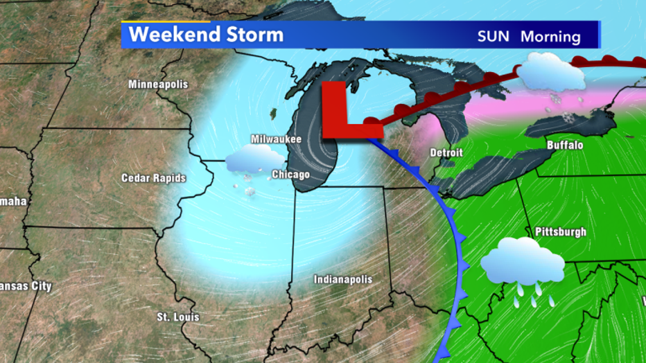
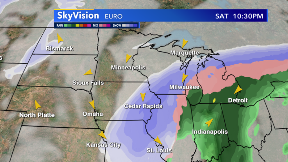
Another batch of snow could arrive Saturday, with a low-pressure system moving in from the south. Several runs of the European model have shown a scenario where most of southern Wisconsin will end up on the western side of that developing low. This could lead to several inches of snow Saturday night.
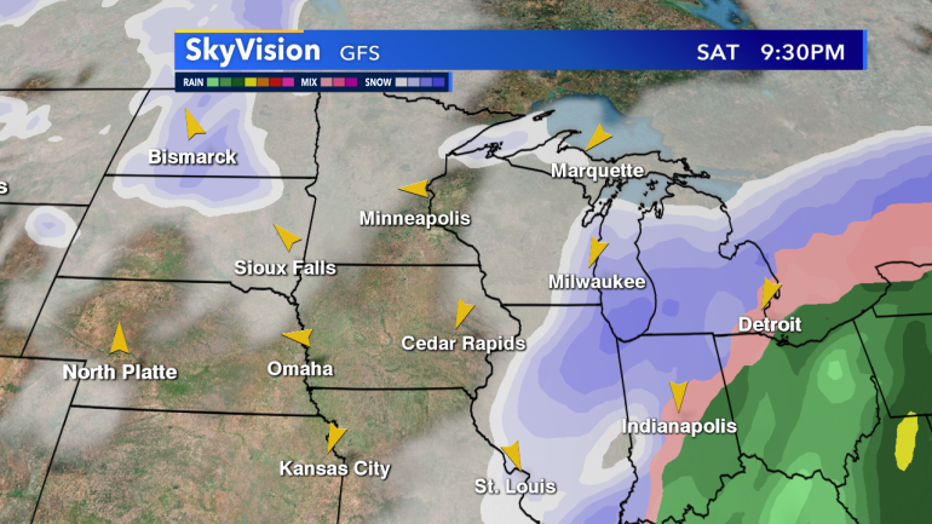
Meanwhile, other model scenarios push the low further east, resulting in far less snow for our area.
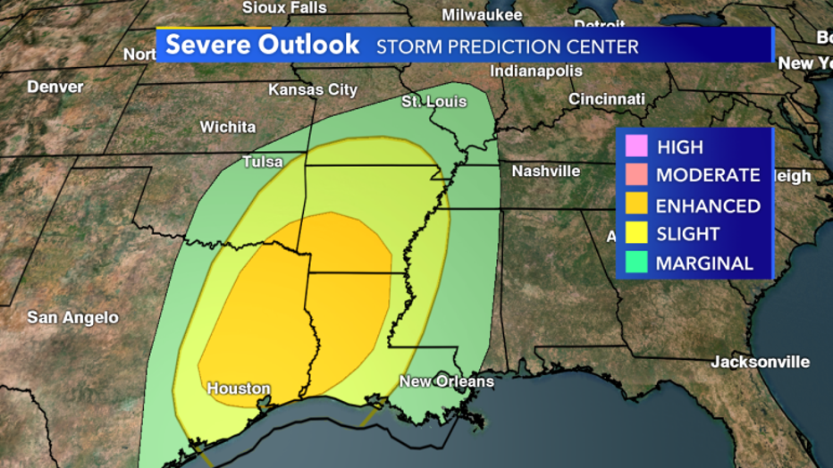
On the southern edge of this system, severe weather is expected to occur from Texas to Georgia as the front slowly travels eastward. An Enhanced Risk of severe weather is expected for parts of Texas and Louisiana on Friday, with a similar severe risk expected further east on Saturday. Supercell thunderstorms and tornadoes are possible both Friday and Saturday down south.
Expect more forecast updates as we get closer to the weather event this weekend. Storm track certainty will increase dramatically over the next few days, and we will know a lot more about the exact track and how much snow we can expect.