

1st severe weather threat of 2020 moves in on Thursday, March 19
SOUTHEAST WISCONSIN -- Our first decent threat of severe weather in 2020 moves in Thursday, March 19 mainly in the afternoon. Isolated strong to severe storms are possible that can produce damaging winds, hail, and even a brief tornado. Please stay weather aware as these storms develop. Most of southeast Wisconsin is included in a slight risk at this time. But this is subject to change as we approach Thursday.
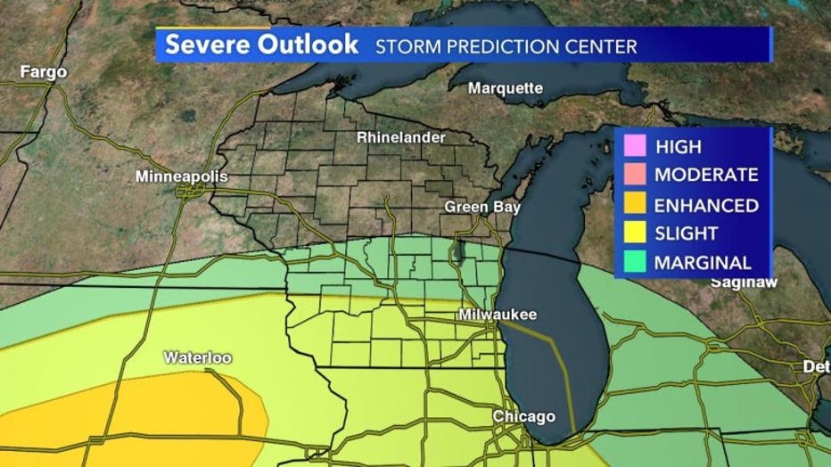
SPC Outlook for Thursday, March 19th
Skyvision Plus has the strongest storms firing up in the afternoon. Most of the activity will be scattered and varying in intensity. While not all will experience severe weather widespread heavy rain is likely.
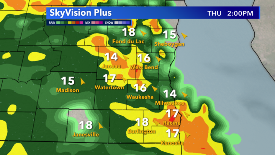
Skyvision Plus Thursday, March 19 2pm forecast
Straggling activity will continue to linger into the evening as the back end of this system clears our area. Showers and storms become much more isolated but could still produce pockets of heavy rain.
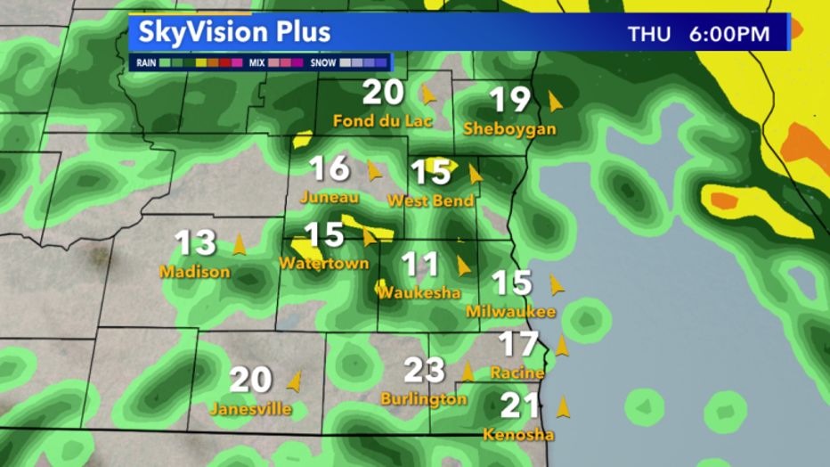
Skyvision Plus Thursday, March 19 6pm forecast
Any changes to the forecast will be updated on fox6now.com/weather and all our social media platforms. Stay weather aware!