

Google Maps releases COVID feature to inform of community spread

Google Maps releases COVID feature to inform of community spread
Online giant Google is trying to help make things easier and safer for those traveling this holiday season.
While Thanksgiving is usually the busiest travel holiday, the coronavirus has changed things in 2020, with the Centers for Disease Control and Prevention warning against travel to visit relatives and friends, but an online giant is trying to help make things easier and safer.

Justin Burr
“Things have definitely changed,” Justin Burr said.
Burr, Google technology expert, said the company is rolling out new features to help us navigate the pandemic.
FREE DOWNLOAD: Get breaking news alerts in the FOX6 News app for iOS or Android
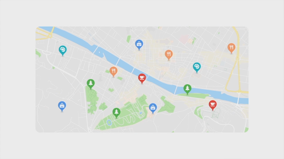
“The Google Maps feature, the COVID layer, that is a new feature that allows you to see the seven-day average of new COVID cases per 100,00 people in a specific area,” Burr said. “You can see all-time detected cases and give you a link to authoritative local resources.”
With safety a major concern, AAA says a majority of those who travel will go by car. Burr said the site can help you save time and keep loved ones informed along the way.
“Once you are actually in the navigation mode of things on Google Maps, just swipe up on the bottom arrow and click share trip progress,” he said.
And as you're shopping at grocery stores for your holiday meal...
“Google Maps can show you exactly how busy a business is going to be what those busy times are,” he said. “See health and safety data if a business opts in to share that, and that is stuff like if they are sanitizing between customers, if there are safety dividers at checkout, stuff like that.”
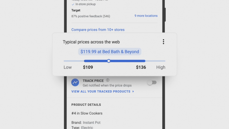
As Black Friday deals roll out, a few clicks can save you time and exposure.
“We have a 'prices inside' module,” said Burr. "Just go into Google, type whatever product you are looking for and there a shopping tab. It’s going to show you all the different prices at all the different stores. It will show you if prices fluctuated recently.”