1st shot of winter cold moves in next week with Polar Air Mass
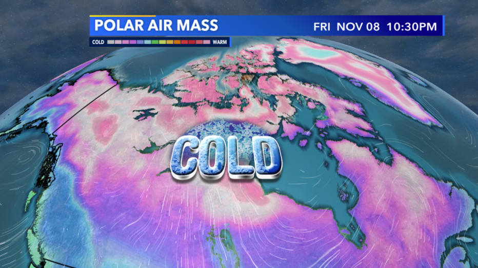
MILWAUKEE -- This has already been a fall we'll all remember thanks to our record Halloween snowfall, but now, it's the cold's turn. Our first widespread polar air mass of fall will push in by the weekend.
This happens many times throughout fall and winter and has been popularized by the national media as a "Polar Vortex" but there is no reason to worry! It's pretty typical for Wisconsin. It gets cold here!

First widespread polar airmass of Fall moves in this weekend.
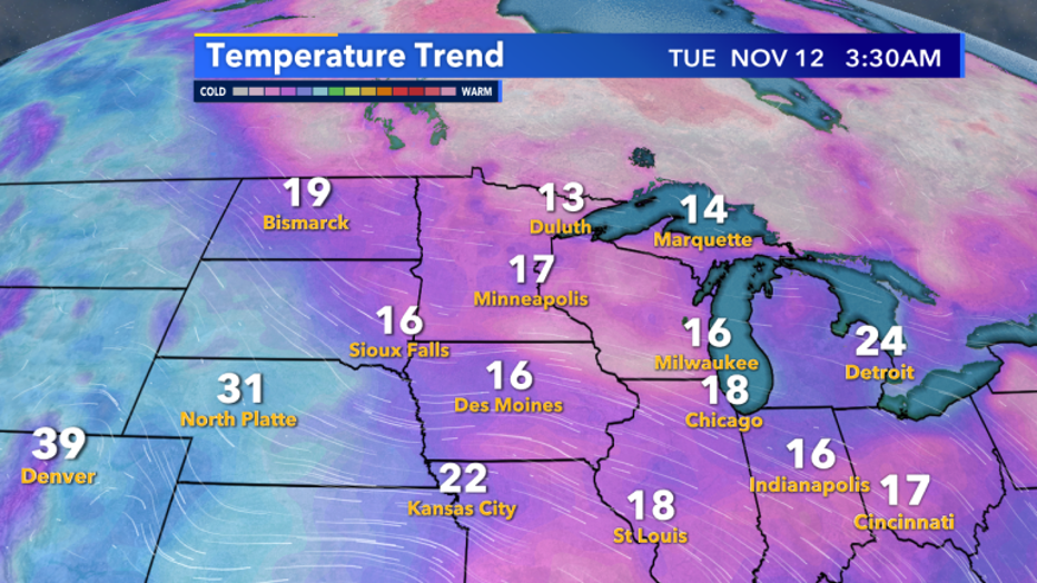
As this air mass moves south by Monday, Nov. 11 and Tuesday, Nov. 12 our temps will be way below average. Current temperature models have our lows Tuesday morning bombing down into the mid-teens! Not only will it be cold, but this air is dry. The colder the air, the less moisture it can hold, and especially due to its origin in northern Canada, you'll want to make sure your humidifiers are working properly.

Forecast temp as of now puts us in the teens by Tuesday morning.

