Hurricane Helene and the Fujiwhara Effect; will it impact Wisconsin?
Hurricane season continues with a rare meteorological phenomenon. We are at the peak of the hurricane season, which means we can notice the tropics becoming more and more active. The peak of hurricane season occurs between mid-August and late October.
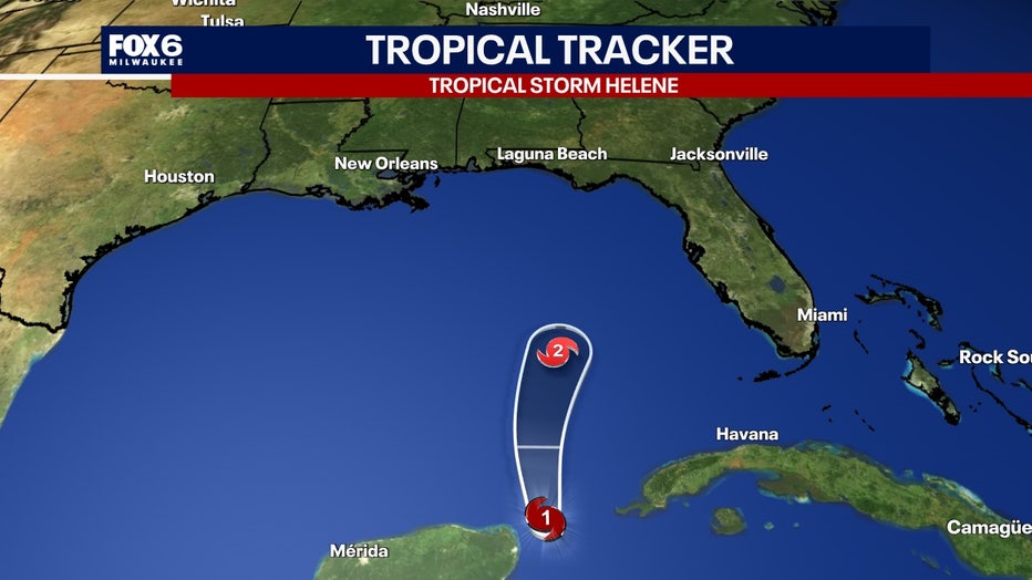
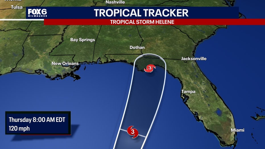
Hurricane Helene continues to intensify rapidly in the Gulf of Mexico. It will continue on a north-northwest path heading towards the Big Bend of Florida.
The forecast will become quite interesting as it interacts with another system upon landfall. There is a trough of low pressure that is lingering over the south-central US. The system of low pressure will interact with Helene.
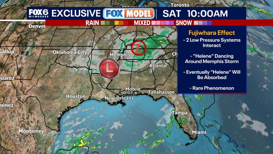
So what happens next? Both systems undergo what we call the "Fujiwhara Effect". The Fujiwhara Effect is when two low pressure systems spinning in the same direction pass close enough to each other, they begin an intense dance around their common center. The last time this happened was in 2017.
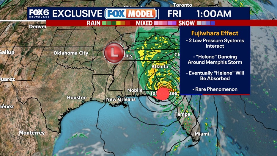
If one system is a lot stronger than the other, the smaller one will orbit it and eventually its vortex will be absorbed. Two storms closer in strength can gravitate towards each other until they reach a common point and merge, or spin each other around for a while before shooting off on their own paths. On rare occasions, the effect is additive when the systems come together, resulting in one larger storm instead of two smaller ones.
In the case of Helene, the future models forecast that Helene will be absorbed by an area of low pressure in the Ozarks region. That will be good news for southeast Wisconsin. If Helene is absorbed, the remnants will not make it to the Midwest region, keeping the forecast mainly dry for the week.