Massive snow for Alaska into next week, over 5 feet possible
Snowfall forecast through Tuesday, Nov. 7
Southeast Alaska is no stranger to massive snowfalls, and the next week and a half is no exception. A large section of southeast Alaska in higher elevations has a chance to see over 5 feet of snow through Tuesday, Nov. 7.
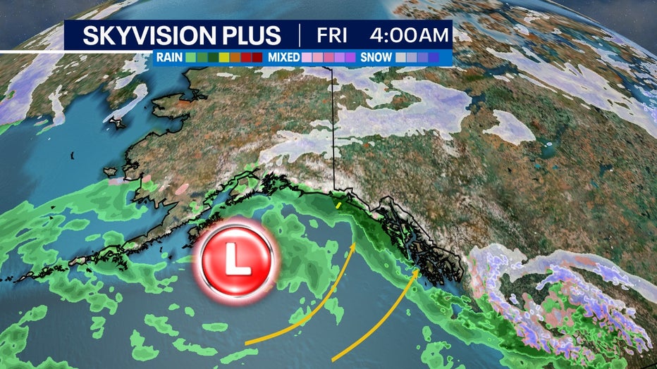
Some atmospheric models push numbers closer to 10 feet by mid-November. The longer-range forecasts are supported by a favorable weather pattern of multiple deep lows coming in from the Pacific Ocean.
The combination of ocean moisture and topographical lift from coastal mountain ranges allows for huge snowfalls in this part of the world. These large streams of moisture come winter time are what supply the western U.S. with their strongest winter systems as well.
SIGN UP TODAY: Get daily headlines, breaking news emails from FOX6 News

General low pressure trend for the next week in the Gulf of Alaska
This region on average is one of the wettest places on the continent with lower elevations almost being considered a rainforest. Farther inland in Canada is one of the highest peaks in North America. At over 19,500 feet, Mount Logan is the highest point in Canada. The St. Elias Mountains, which are directly on the coast, will see the brunt of this snow also. These mountains contain Mount St. Elias, which is the nation's second-highest peak only behind Denali.
In all, southeast Alaska boasts some of the most extreme terrain and precipitation in North America. It's no shock that it's one of the least populated parts of Alaska too.

