Newest tropical storm of 2020 hurricane season likely to impact Florida by Aug. 1
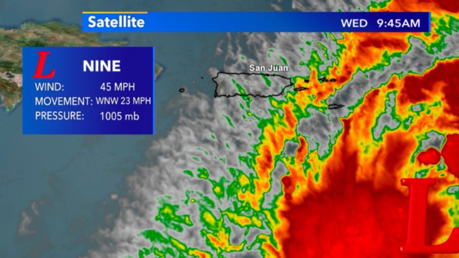
ATLANTIC OCEAN -- Potential Tropical Cyclone 9 is likely to become a tropical storm today, July 29. It will then be named Isaias (ees-ah-EE-ahs) as it continues to gain strength and be the 9th tropical cyclone of the 2020 Atlantic Hurricane Season. Currently, it's producing 45mph winds while heading WNW at 23mph and is just southeast of Puerto Rico.

Satellite view of Potential Tropical Cyclone 9 as of 9:45 a.m. on July 29
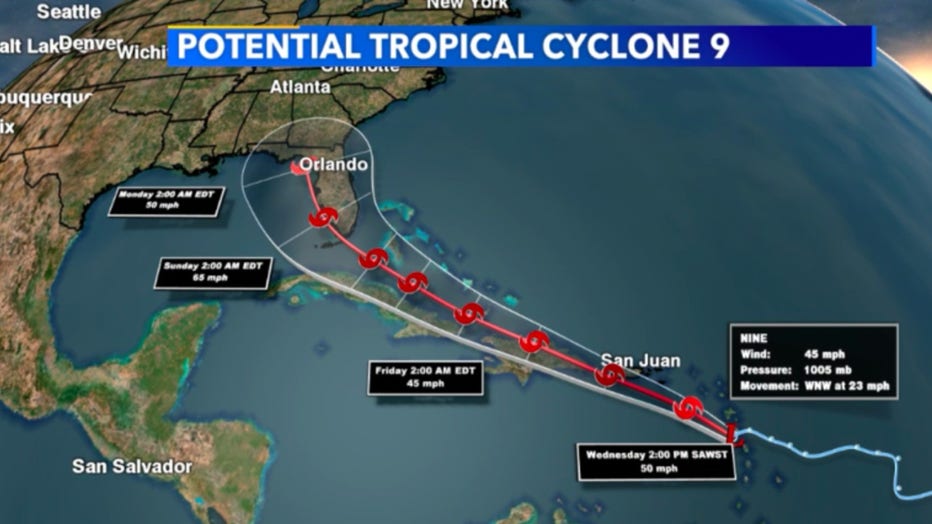
The cone of uncertainty stretches throughout the Caribbean through the weekend, August 1-2 as the system is favored to hold it's tropical storm status. As it approaches Florida this is where we could see a shift West depending on upper-level winds but as of now, it's expected to clip the southern half of the state and continue to head North. Late Saturday night, August 1 into early Sunday morning, August 2 is when this storm is forecast to make landfall on Florida.
This storm is not expected to become a hurricane at this time but will likely impact more people than any storm so far in 2020. If the current path holds the entire state of Florida could see damaging winds and torrential downpours and many other cities in the southeast corner of the United States.

Cone of uncertainty for Potential Tropical Cyclone 9 through Aug. 3

