Severe storm chances Saturday afternoon through Sunday early morning
MILWAUKEE - Our next chance for widespread rain and severe weather arrives late Saturday afternoon, July 23, and continues in early Sunday morning, July 24.
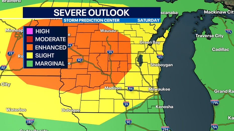
The Severe Weather Prediction Center has included a large portion of our area in a slight risk for severe storms, especially to the northwest. Central and western Wisconsin is included in an enhanced risk with the potential to get upgraded once this system approaches.

Severe outlook for Saturday, July 23.
Heavy rain, damaging winds, and hail are the main concerns for southeast Wisconsin but an isolated spin-up tornado will be possible.
SIGN UP TODAY: Get daily headlines, breaking news emails from FOX6 News
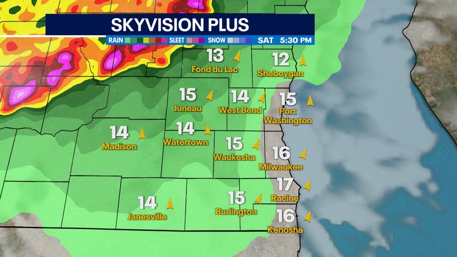
This severe weather will be triggered by a cold front moving in late Saturday afternoon, July 23. The exact timing could change but as of Friday, July 22 the first storms start in our northwest counties and track east-southeast by 5 p.m.

Skyvision Plus for Saturday, July 23 at 5:30 PM
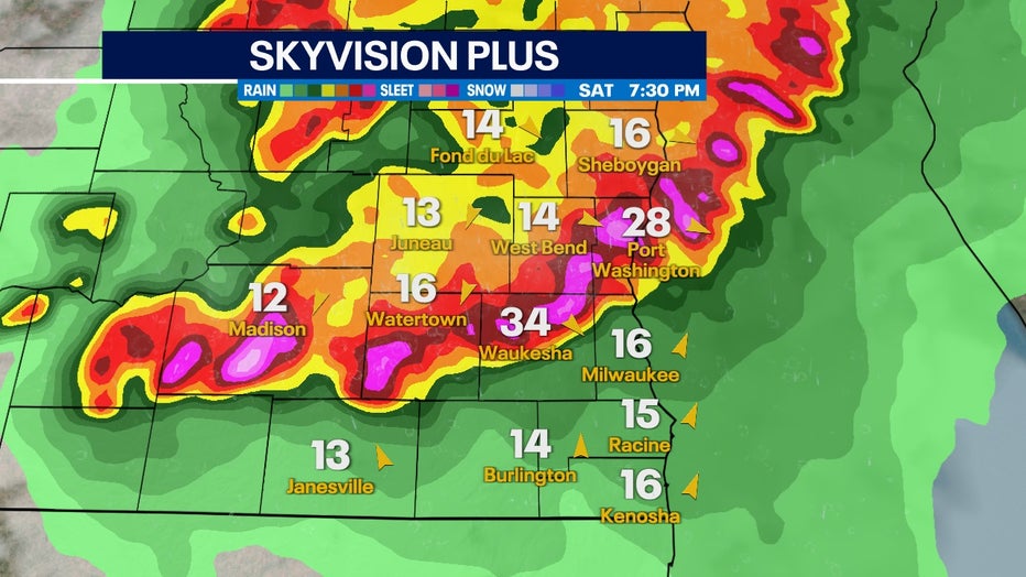
Storms are favored to approach the Milwaukee area between 6 p.m. and 8 p.m. While this line will be weakening, individual cells still have the potential to produce damaging winds and hail.

Skyvision Plus for Saturday, July 23 at 7:30 PM
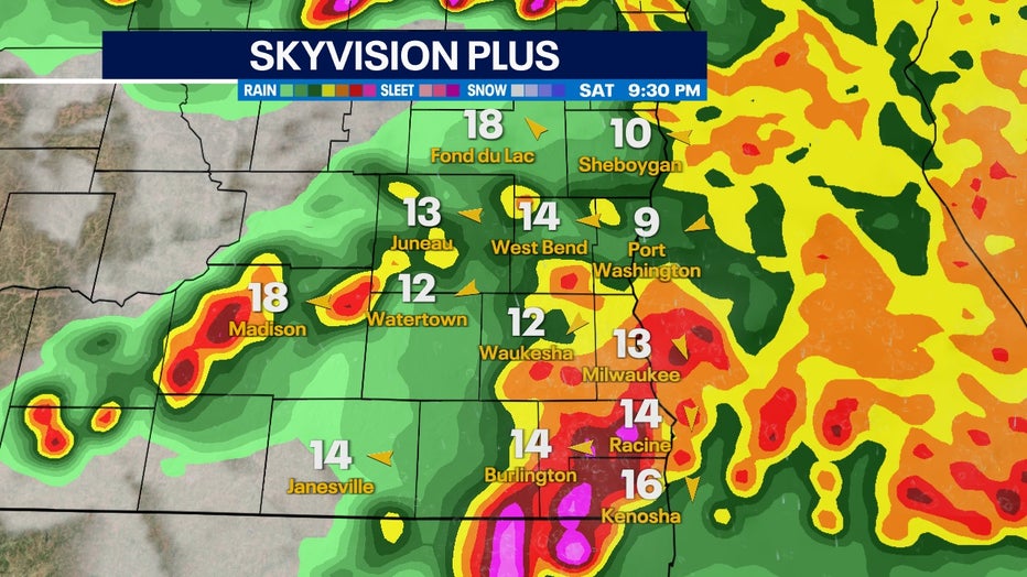
Atmospheric models continue to favor a first line in the late afternoon into the evening but then more storm development into late Saturday night, July 23. Heavy rain is the main concern as these secondary storms develop.

Skyvision Plus for Saturday, July 23 at 9:30 PM

