Snow possible on the 1st day of May
MILWAUKEE - An occluded low-pressure system has brought days of clouds and scattered rain across southeast Wisconsin. It could also bring snow to start May!
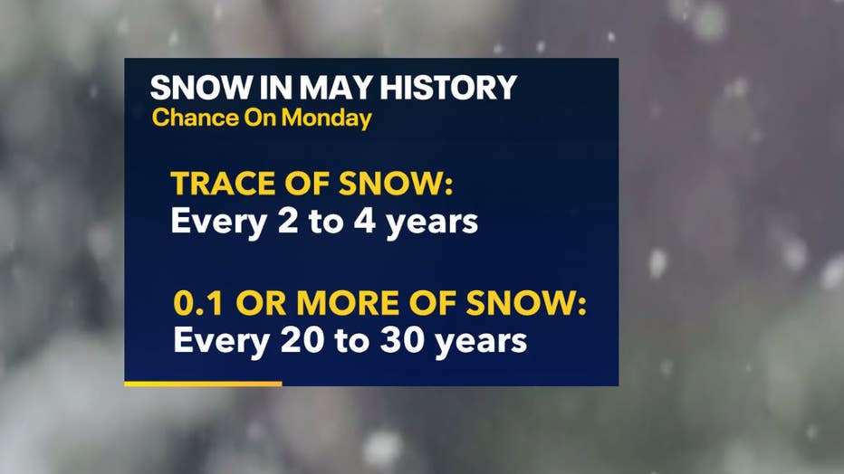
The heaviest snowfall will accumulate in northeastern Wisconsin into the Upper Peninsula, where 5-18" of snow is possible. While there will be enough cold air and moisture circulating around this low to provide snow to southeast Wisconsin, we will not see amounts nearly that high. Historically, snow isn't favorable in May. In fact, a trace of snow in May typically occurs every 2 to 4 years, while a tenth of an inch of snow or more in May only occurs every 20 to 30 years.
SIGN UP TODAY: Get daily headlines, breaking news emails from FOX6 News
A trace of snow was recorded in 2020, 2018 and 2016, while 1990, 1989 and 1935 were all years when 0.1" to 3.2" was recorded.

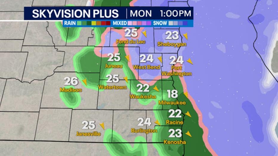
Northwesterly winds will usher in cool temperatures in the low to mid-30s late Sunday to early Monday. This will allow the transition from rain to snow to occur.

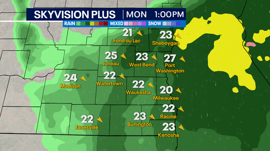
Snow showers will continue through Monday morning but will change to a rain/snow mix further into the day as temperatures will warm. Expect a full switchover to rain by Monday afternoon with temperatures in the upper 30s to low 40s.

The biggest impacts of this system will be reduced visibility with falling snow, blustery conditions and strong wind, making it feel like the 20s and low 30s, along with minor snowfall accumulation on grassy/elevated surfaces such as cars and decks. Due to warmer soil and ground temperatures, most of the snow that falls will melt on contact with the surface, which limits accumulation totals.

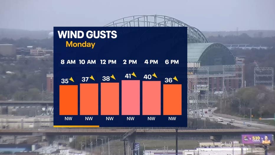
Whether you are in an area with falling snow or not, everyone will experience strong northwesterly winds Monday through Tuesday. Sustained winds will range from 20-25 mph with gusts of 30-40 mph and isolated higher gusts possible.

If you are craving warmer temperatures, the upper 50s and low 60s will be back Wednesday through the end of the week.

