Snow potential this weekend not far away from Wisconsin
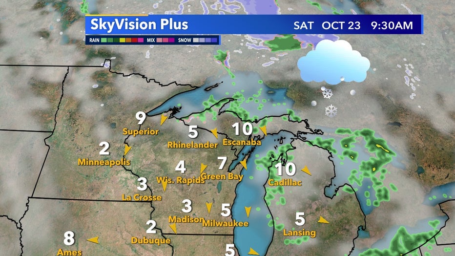
Just as we're about to experience our first widespread frost potential in southeast Wisconsin of the season, we also don't have to look far to see snow potential as well. Areas just north of Lake Superior will have multiple snow chances by Saturday, Oct. 23, and will continue to see snow potential to start next week. But how long will it be until Milwaukee sees its first snow?

SkyVision Plus forecast for Saturday morning, Oct. 23
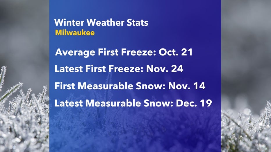
Using 120 years of data we typically see our first freeze on Oct. 21. The latest first freeze Milwaukee has ever had was Nov. 24. The average first measurable snowfall is by Nov. 14 but the latest first measurable snowfall was Dec.19. Generally speaking, we should see our first snow within the next month. On average October at least produces trace amounts of snow but keep in mind this is based on averages. Our big Halloween snow of 2019, for example, definitely shifted the average October totals for the decade.

Going back to 1900 the historical first and latest freeze and snow dates for Milwaukee

