Snow totals from storm that impacted SE Wisconsin Feb. 15-16

MILWAUKEE - The National Weather Service (NWS) collected data from the snowfall that impacted southeast Wisconsin from Monday, Feb. 15 through Tuesday, Feb. 16.
Below is a list of the running snowfall totals (in inches) in southeast Wisconsin -- totals that most likely will change.
CLICK HERE to view a snowfall totals map from the National Weather Service
- Racine, 17.8
- Wind Point, 17.3
- Kenosha, 16.0
- Cudahy, 13.2
- Franksville,12.5
- South Milwaukee, 11.9
- Sturtevant, 11.0
- Oak Creek, 11.0
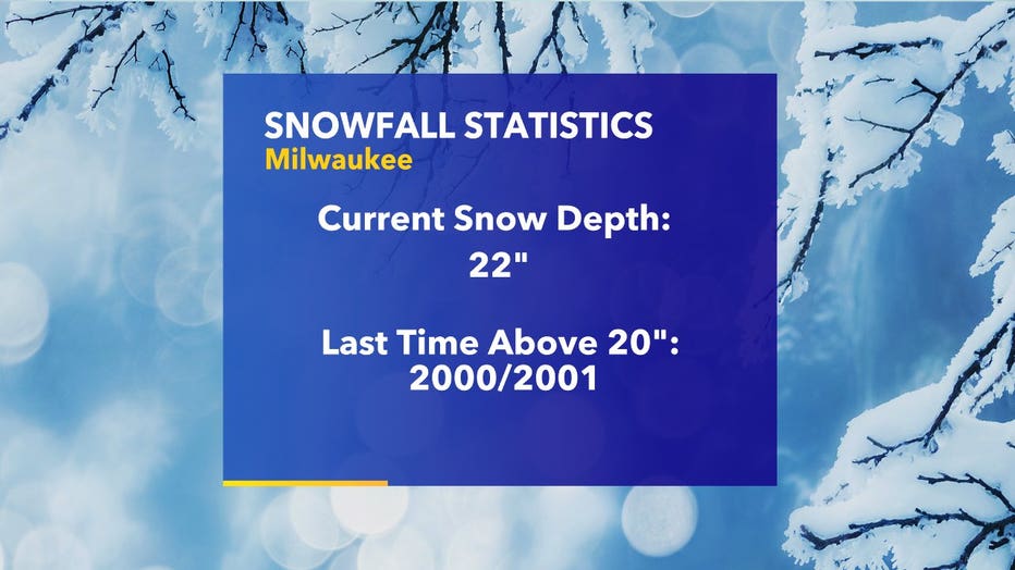
- Milwaukee Mitchell International Airport, 9.5 NOTE: 24" of snow on the ground at the airport, most since December 2000
- NOTE: 24" of snow on the ground at the airport, most since December 2000
- Franklin, 7.5
- Downtown Milwaukee. 5.5
- Grafton, 4.8
- Pleasant Prairie, 4.0
- Union Grove, 4.0
- Greendale, 4.0
- Belgium, 3.5
- Brown Deer, 3.3
- Oostburg, 3.0
- Port Washington, 3.0
- Waukesha, 3.0
- Wauwatosa, 2.8
- Burlington, 2.0
- Germantown, 1.8
- Richfield, 1.6
- Cedar Grove, 1.5
- Big Bend, 1.5
- Mukwonago, 1.3
- Slinger, 1.1
- Palmyra, 1.1
- Saukville, 1.1
- Hartford, 1.0
- West Bend, 1.0
- Sullivan, 0.8
FREE DOWNLOAD: Get breaking news alerts in the FOX6 News app for iOS or Android.


Engage your brain and move to power through a ‘very cold’ winter
The winter blues add to the restlessness and isolation felt during the coronavirus pandemic,
Featured
Number of patients hospitalized for COVID-19 in Wisconsin drops by 82%
The Wisconsin Hospital Association reports 412 people hospitalized for COVID-19, a number close to what we saw back in April.
Featured
Milwaukee Health Department issues $30K in COVID fines in 6 months
The Milwaukee Health Department has collectively issued nearly $30,000 in fines to businesses that were found to violate COVID-19 policies since July 2020.


