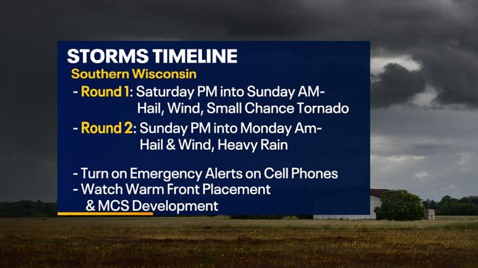
Strong storms possible Saturday night into Sunday morning
Several low pressure systems to our west, in the Great Plains, will bring southeast Wisconsin the potential for rain and storms through early next week. Some storms could even be strong to severe depending on the location of the fronts, variables in the atmosphere, and development and movement of storm complexes.
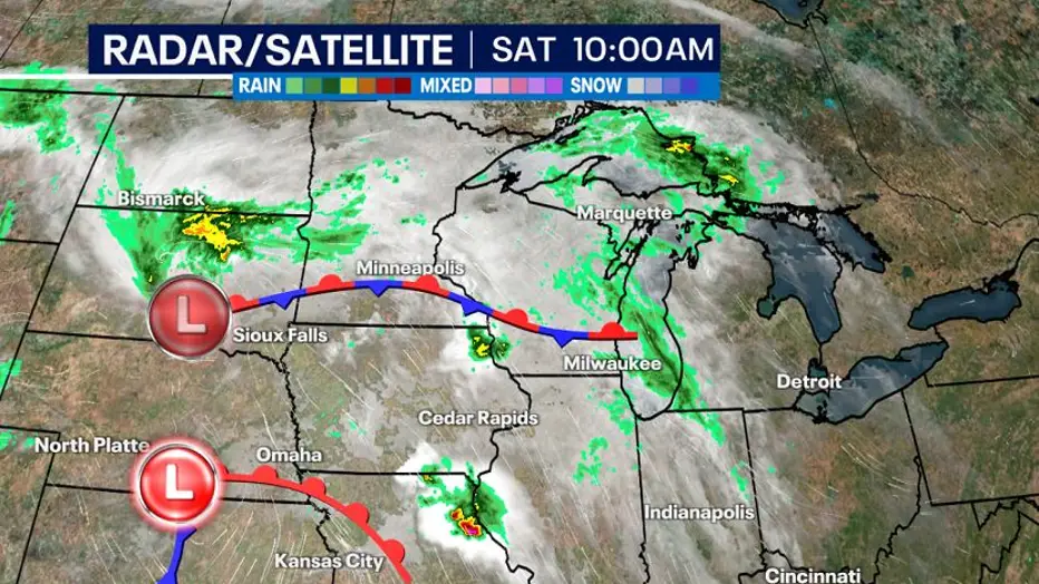
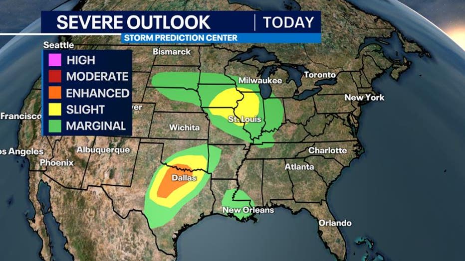
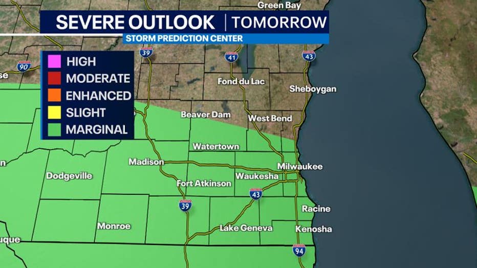
Due to the potential severe weather, the Storm Prediction Center (SPC) has expanded the risk areas in the south and upper Midwest regions.
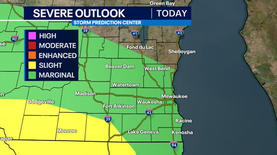
This will include southeast Wisconsin under a marginal risk (green-lowest risk) and a slight risk (yellow) for Rock and western Walworth counties for Saturday night into early Sunday.
Scattered rain and storms will develop around 8 p.m. to 9 p.m. Saturday evening.
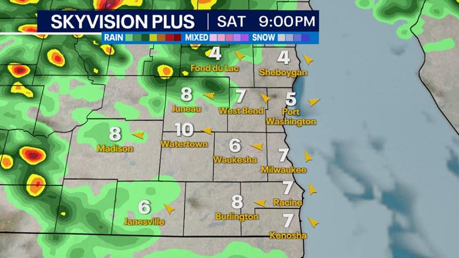
The main storm complex, called an MCS or mesoscale convective system, will develop in Iowa tonight. There are two scenarios that could play out at this point:
1) The complex goes North OR 2)The complex stays SOUTH.
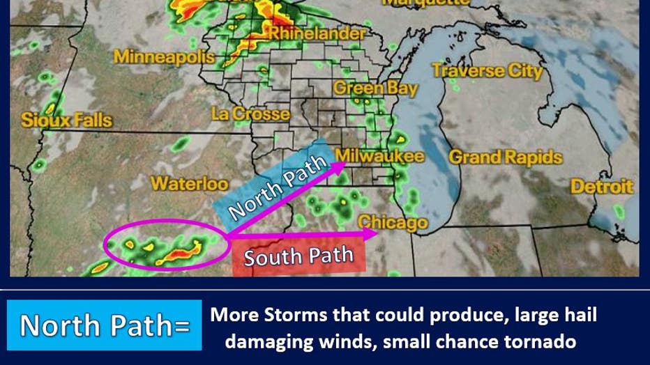
NORTH PATH: If the complex moves north, southeast Wisconsin would have an increased risk for more strong to severe storms between 11 p.m.-3 a.m. If the storms are north of the warm front, then the threat would be mainly large hail. If the storms are south of the warm front, then the threat would be hail, damaging winds, and a small threat of a spin-up tornado.
SOUTH PATH: If the complex stays south, southeast Wisconsin would have a smaller risk for strong to severe storms between 11 p.m. to 3 a.m. An isolated strong storm is possible, but the higher risk will remain closer to the border and into Illinois.
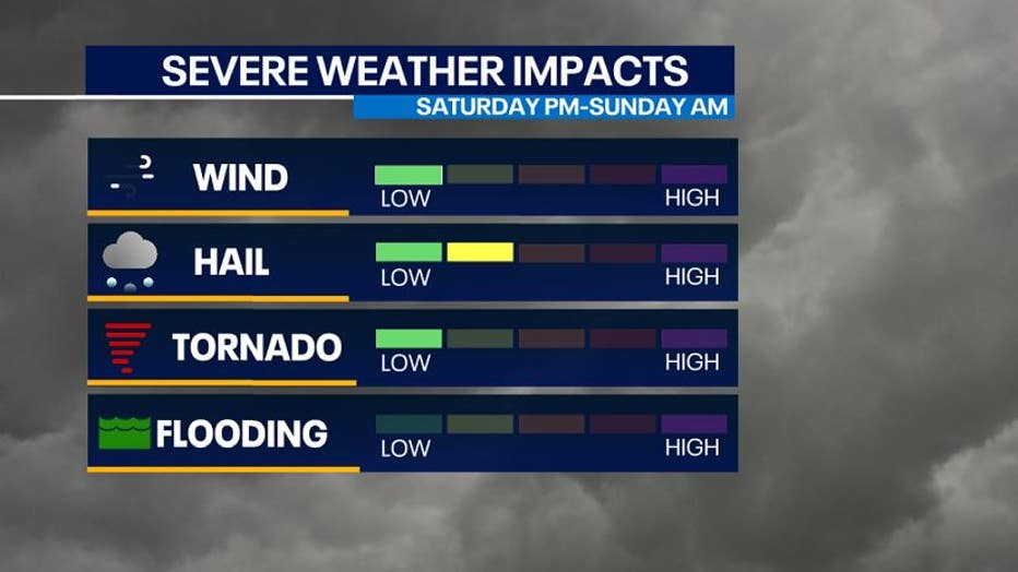
Impacts will be determined by the direction the storm complex travels. Either way, there will be storm activity late tonight into the predawn hours of Sunday that we will need to watch.
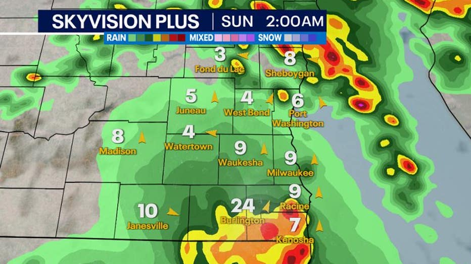
Rain and storms will be gone by Sunday morning when most people wake up. Since storms will occur overnight, make sure you have a way to get emergency alerts in case there is a severe thunderstorm heading your way. The FOX6 Weather app is free and a great tool to get alerts in a time of need.
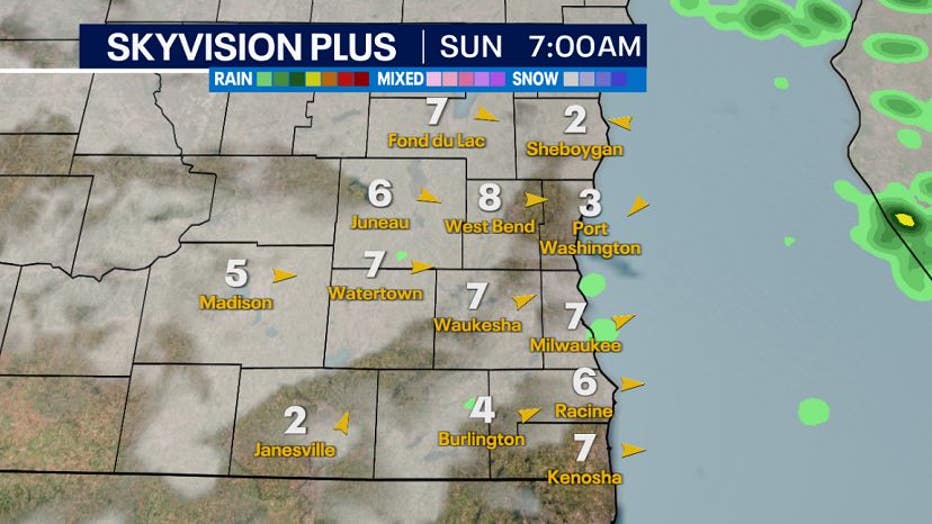
Round 2-A second storms complex is forecasted to arrive Sunday night into early Monday, which has prompted a marginal risk (green-low) across southeast Wisconsin again for the threat of damaging winds and hail.
With the potential for active weather over the next few days, here is a recap of what you need to know!
